On a raw, cloudy Sunday in April I ventured up to Catskill, intending to get some nice photos of the Rip Van Winkle Bridge from Dutchman’s Landing Park before heading off to the event at the Thomas Cole National Historic Site. Parking the car as close to the park entrance as possible, in order to give myself plenty of walking room and thus an opportunity to try out various vantage points for my photos, I gradually walked in the direction of the bridge in hopes of finding the optimum spot.
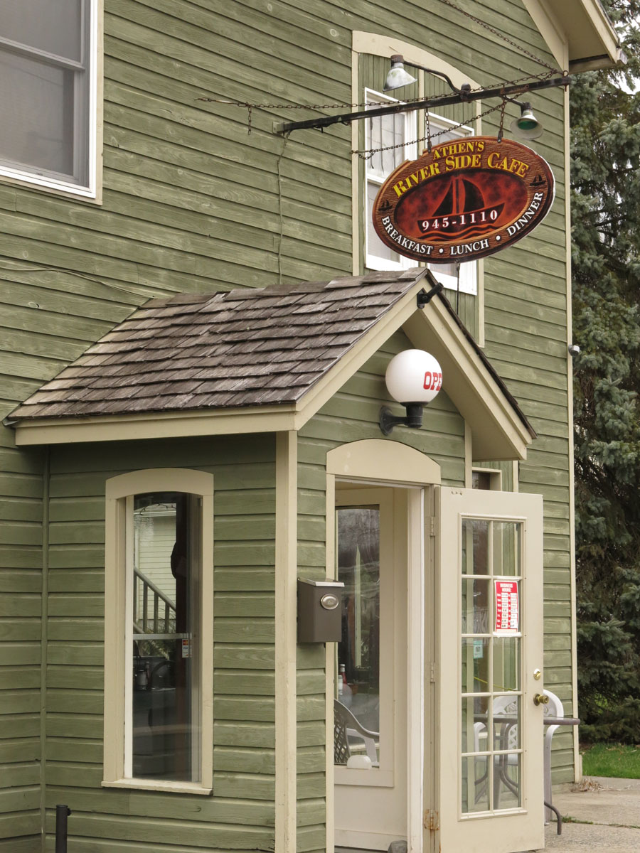 It didn’t quite turn out that way. Instead, as I reached a point at which the shore turns inward and forms a cove, I discovered a considerable amount of devastation from one of the recent “storms of the century”–as Governor Andrew Cuomo has observed, New York and surrounding areas have had two “storms of the century” within two years, Hurricanes Irene and Sandy. Wanting to find out more, once I finished photographing I drove four miles up the road to the nice Riverside Cafe in Athens to grab some lunch and ask about the cause of the damage, and was told that this had been caused by Hurricane Sandy. Here is a brief photo essay of my discoveries.


Leave a comment